Environment Recognition and Mapping for Autonomous Mobile Robot
For autonomous mobile robots that perceive their surroundings and make decisions independently, how to recognize and represent the environment is one of the most fundamental challenges. The representation of the environment that serves as a reference for recognition and provides the foundation for autonomous navigation is referred to as a map.
Our research group has developed mapping, path planning, and localization methods based solely on feature points known as proximity points. These methods enable autonomous navigation with reduced data requirements and computational costs, and their effectiveness has been demonstrated through experiments in real-world indoor and outdoor environments.
Major Research Achievements
- Localization based on proximity points:Y. Tazaki, K. Wada, H. Nagano, Y. Yokokohji: Robust Posegraph Optimization Using Proximity Points, Journal of Robotics and Mechatronics, Vol.35, No.6, 2023.
- Construction of 2D polygonal proximity map (Japanese paper):野々村陸大, 田崎勇一, 永野光, 横小路泰義: 近接点の幾何学的性質を利用した多角形状自由領域を有するポーズグラフ地図の構築, 日本ロボット学会誌, Vol.44, No.1, pp.84-93, 2026.
- Path planning utilizing the polygonal proximity map:R. Nonomura, Y. Tazaki, and Y. Yokokohji: Polygonal Proximity Map: A Compact Free-Space Representation for Efficient Path Planning with Minimal Geometric Information, Advanced Robotics, 2026.
Research Overview Slides
Field Experiments
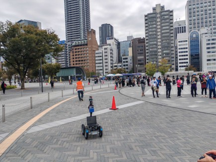
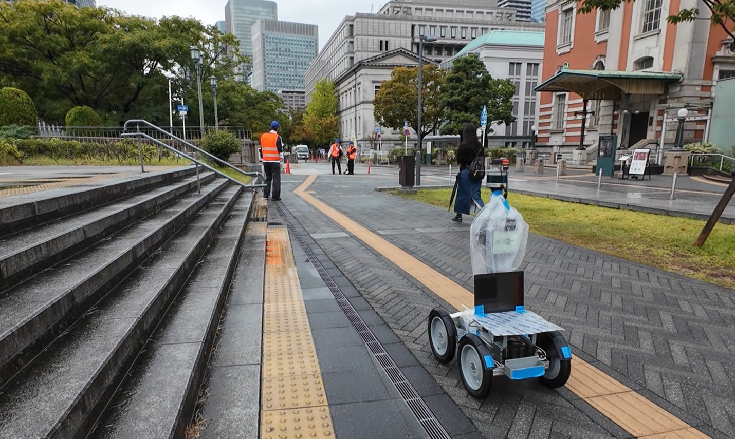
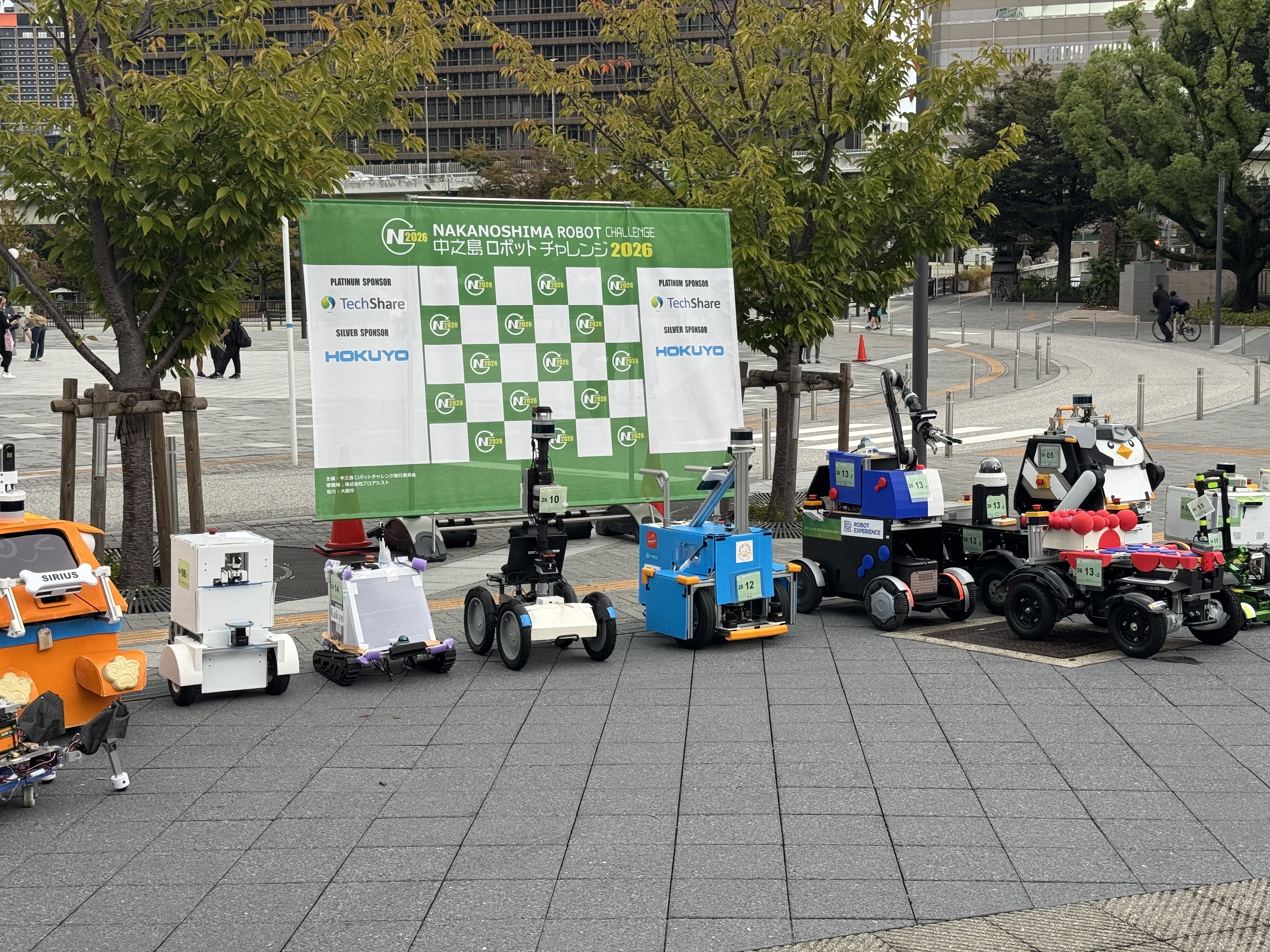
Our research group participates annually in the Nakanoshima Robot Challenge, a series of field experiments conducted in urban environments in Osaka. We primarily participate in experiments held at Nakanoshima Park from September to October and at the Asia and Pacific Trade Center from November to December. Through these experiments, we have evaluated our proposed localization, mapping, and path planning methods in real-world environments shared with pedestrians and cyclists.